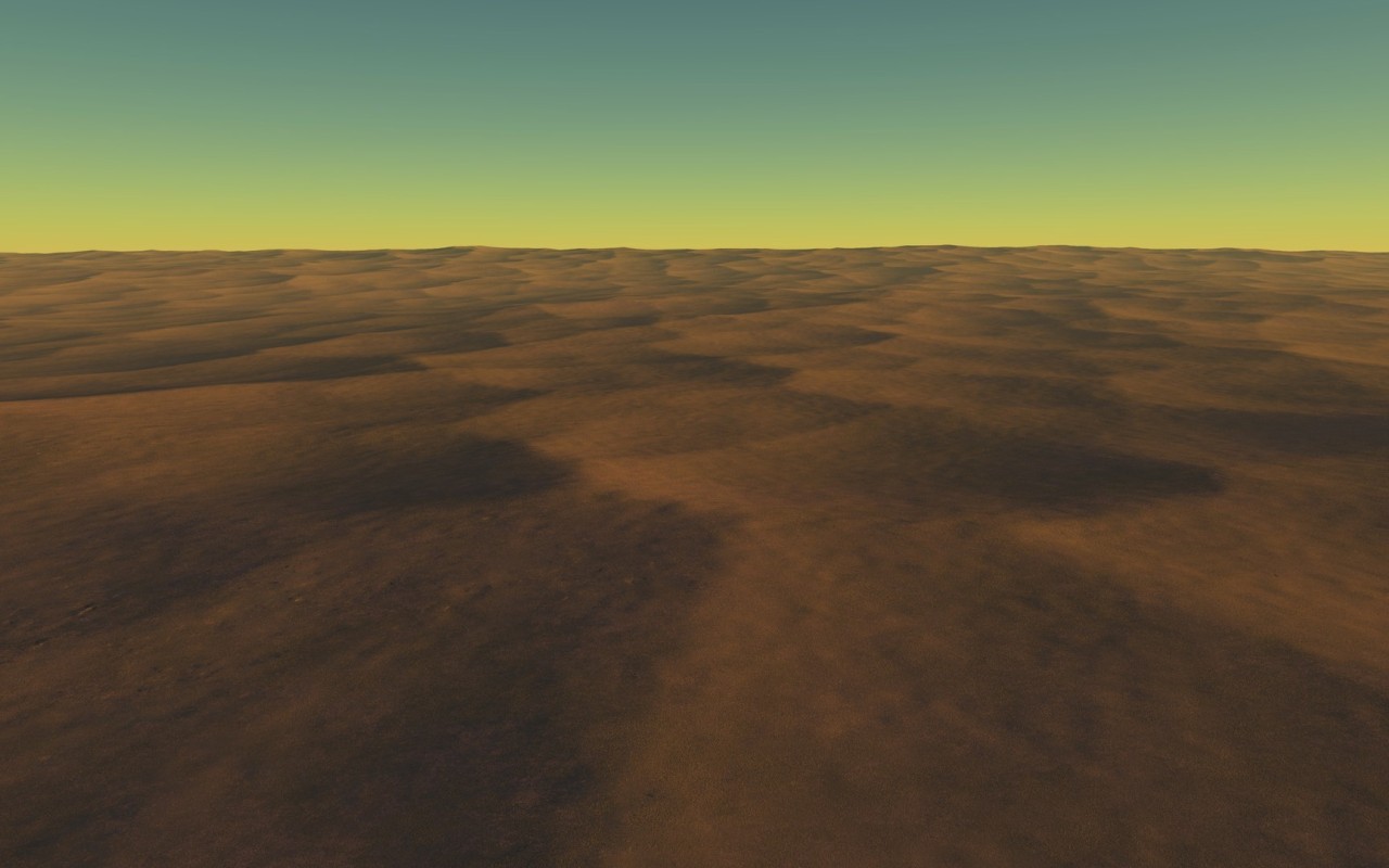
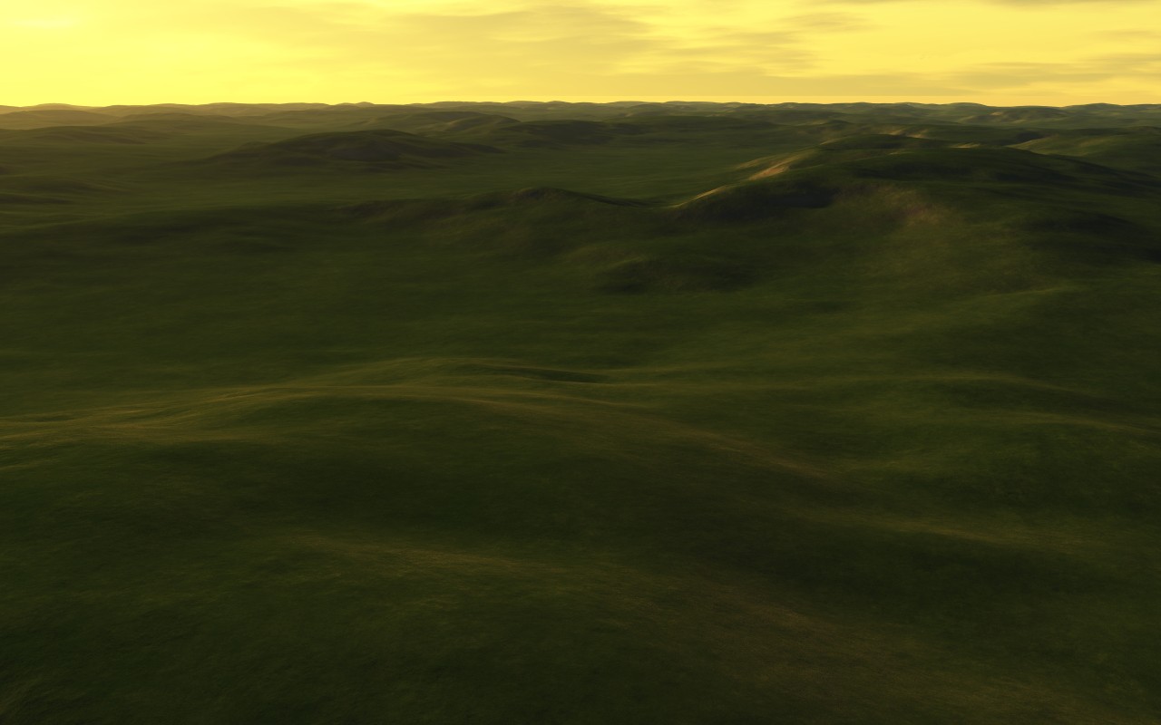
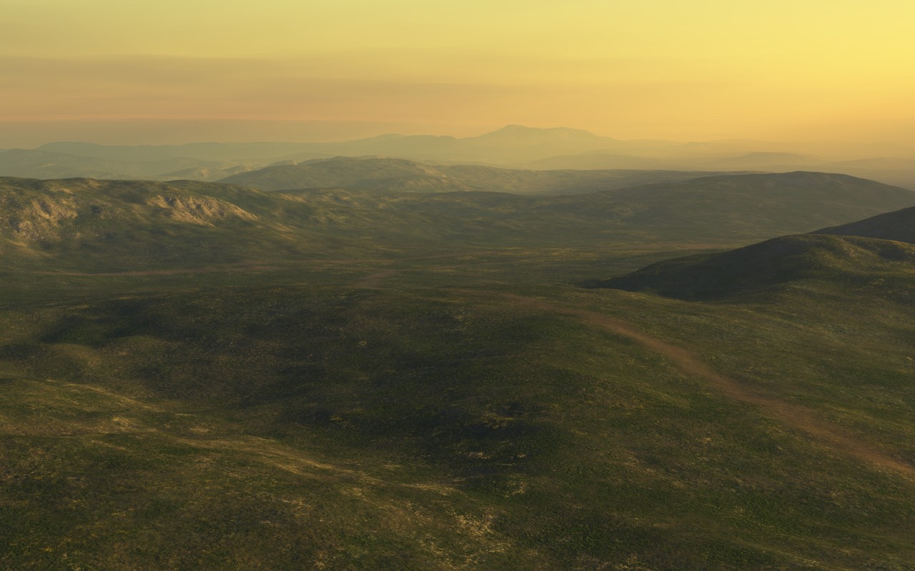
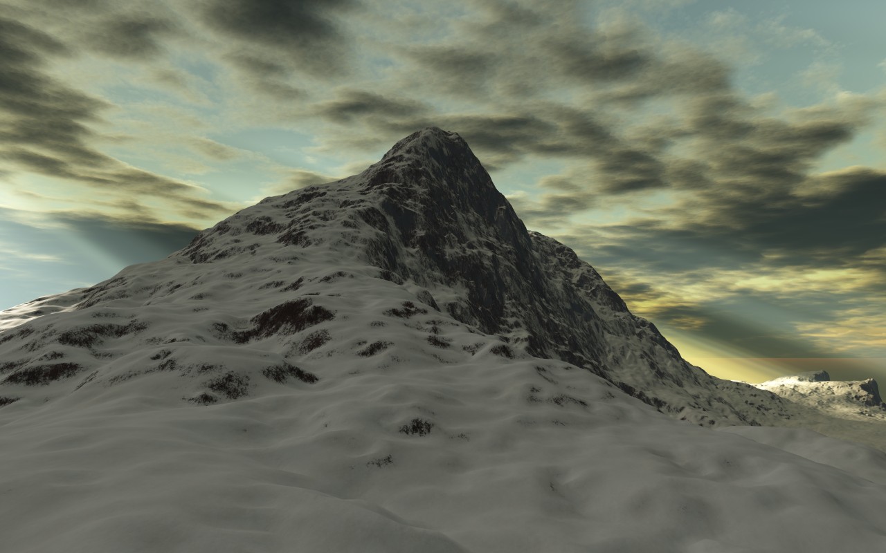
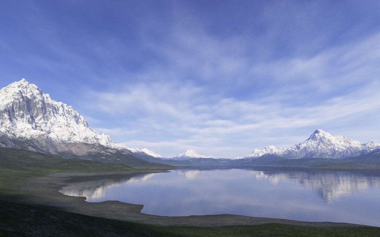
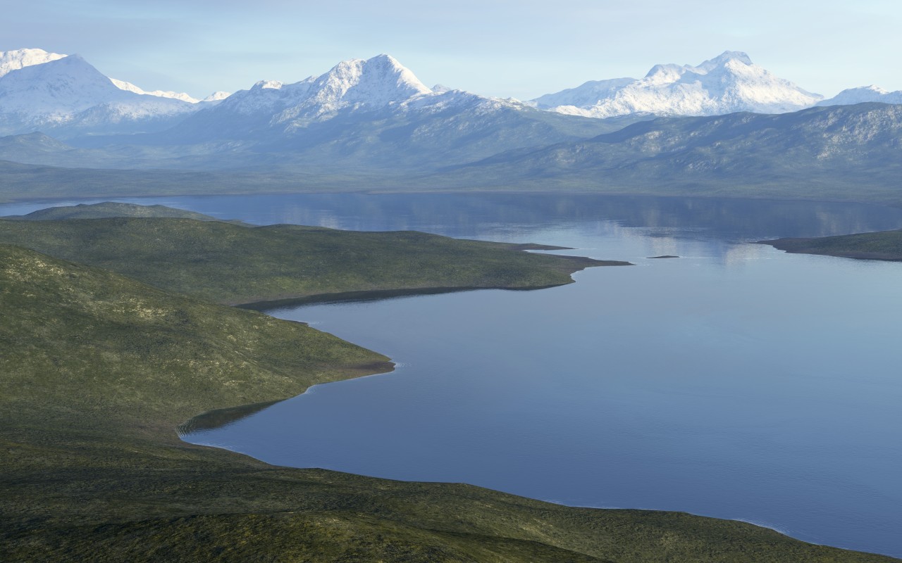
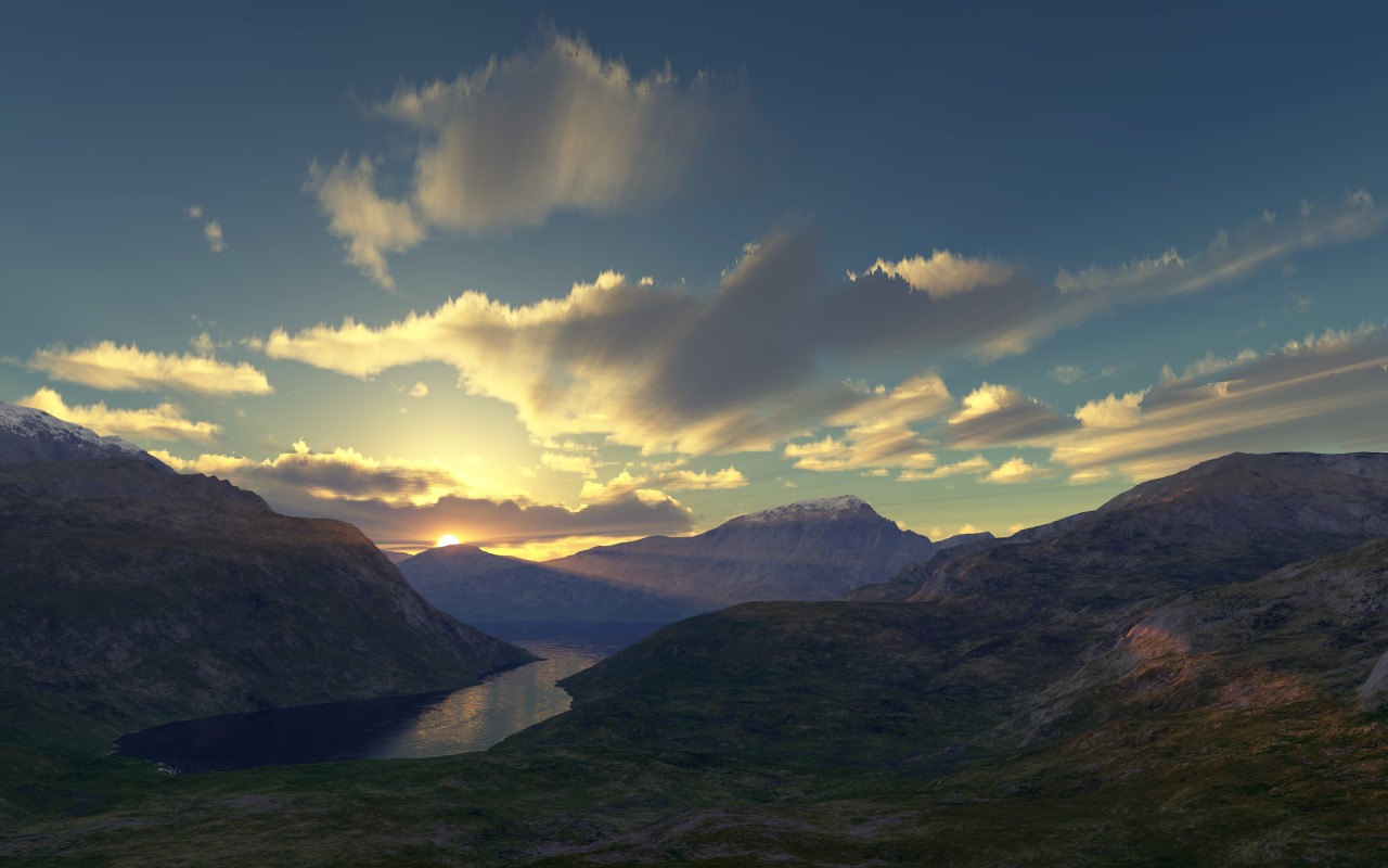
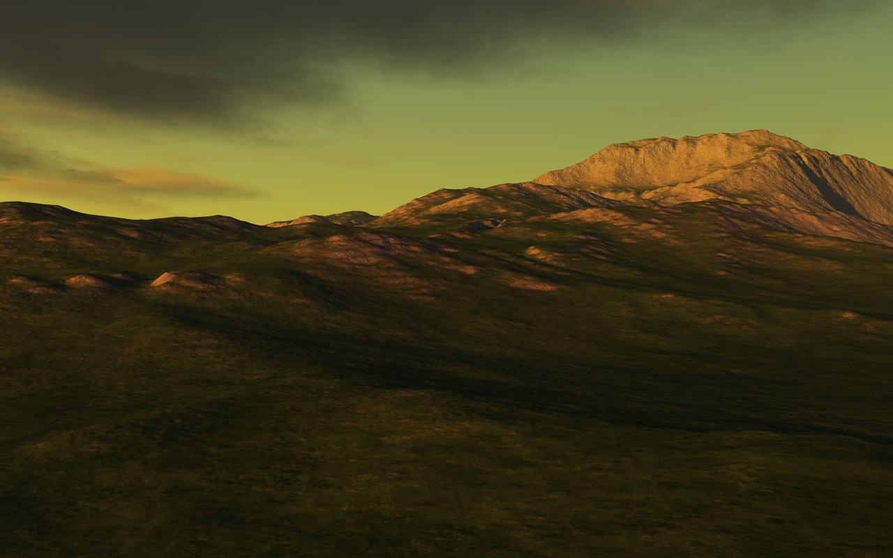
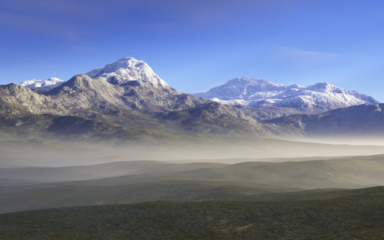
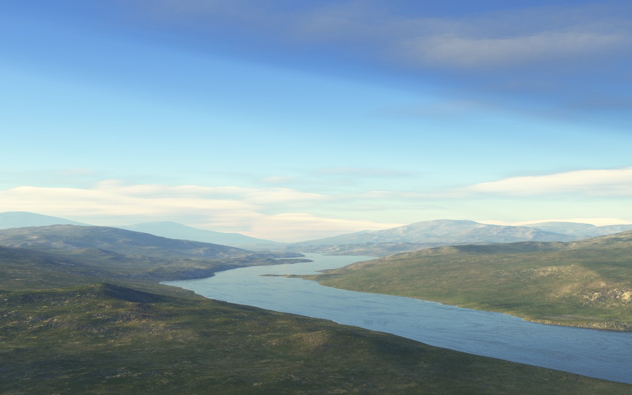
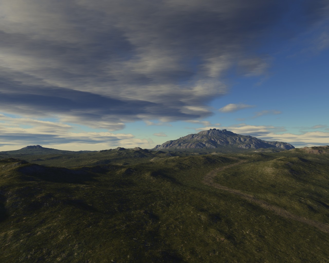
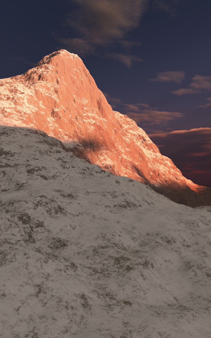
All these images had been generated by Terragen 0.9 around 2009. In theory, the process is simple: you generate a height map (or draw, or obtain from real data), specify the way it should be colored (based on height and slope), set up the location of the Sun and the camera, and watch Terragen draw.
In practice, the learning curve turned out to be very steep; the first few dozens (plural!) of landscapes were nothing much to look at. And you had to wait for about 10 minutes for each of the images to get rendered only to witness the next ugly duckling.
It took me a few days to realize that image quality depends almost exclusively on the direction and intensity of the light, the only thing that makes anything visible on the image. Who knew! After the epiphany, I quickly learned to place the Sun so that it brushes the surface in front of the camera and was immediately reworded with some nice looking landscapes. Watching them come to life in the final hi-res render made me feel warm and fuzzy for some reason.
In case you're wondering why did I have to include the version of the software (0.9) in the title, I did that because different versions of Terragen have as much in common as the Samsung Galaxy S (a smartphone) has with the Samsung K9 Thunder (a self-propelling howitzer). Look at the landscapes created with the version 4 on the Planetside website.
And here are the ones I've created using Terragen 0.9.
